Magma on the move can cause the ground around a volcano to heave in measurable ways. But surface deformation doesn’t always point to an impending eruption—new results show that the terrain around a volcano can also shift during episodes of heavy rainfall. Researchers studying Japan’s Mount Fuji spotted instances of centimeter-level ground deformation tied to intense precipitation. Fortunately, such events can be readily differentiated from deformation caused by magmatic activity, the team repor
Magma on the move can cause the ground around a volcano to heave in measurable ways. But surface deformation doesn’t always point to an impending eruption—new results show that the terrain around a volcano can also shift during episodes of heavy rainfall. Researchers studying Japan’s Mount Fuji spotted instances of centimeter-level ground deformation tied to intense precipitation. Fortunately, such events can be readily differentiated from deformation caused by magmatic activity, the team reported in Geology.
Keeping an Eye on Volcanoes
Volcanoes around the world, from Kīlauea in the United States to Calbuco in Chile, are outfitted with arrays of sensors. Mount Fuji is no exception—the region around the edifice is equipped with dozens of instruments to detect ground movement, infrasound, and other signs of potential volcanic unrest. All that monitoring is warranted: Shin-Fuji (“Younger Fuji”)—the youngest of Mount Fuji’s three overlapping volcanoes—is currently active.
Shuo Zheng, a hydrological geodesist at Hong Kong Polytechnic University in China, and his colleagues recently mined some of those Mount Fuji data. The team focused on Global Navigation Satellite System (GNSS) observations—otherwise known as GPS data—collected daily from 2017 to 2023.
Rain and Rise
Zheng and his collaborators found several instances in which the two GNSS stations located within 10 kilometers of the summit of Mount Fuji recorded clear signs of uplift. Those signals, reflecting changes of roughly 1–2 centimeters, far exceeded the sensors’ millimeter-level precision. And when the team correlated the timing of that uplift with rain gauge records, they found that the ground often tended to rise almost immediately during periods of heavy precipitation (defined as several tens of millimeters of rain falling per day).
“They can store and transmit groundwater, acting like aquifers.”
There’s likely a physical link behind that correlation, the researchers surmised. The explanation involves the so-called clinkers that cap each of Mount Fuji’s subterranean layers of lava. Clinkers are layers of small rocks that form when the surface of a lava flow rapidly cools, and these structures persist in the shallow subsurface of Mount Fuji. “They can store and transmit groundwater, acting like aquifers,” Zheng said.
Clinkers, or layers of small rocks that form from cooling lava, can store and transmit water. They may be responsible for the way Mount Fuji’s surface uplifts in response to heavy rainfall. Credit: U.S. Geological Survey
When water fills up the pore space within a clinker, there’s no place for the overlying ground to go but up. It therefore makes sense that GNSS stations located atop old lava layers would exhibit uplift in response to intense rainfall, the team concluded.
When Zheng and his collaborators analyzed data from the nine GNSS stations located between 25 and 40 kilometers from the summit, however, they found that the ground actually tended to subside during periods of heavy precipitation. “There are two different responses,” said Kosuke Heki, a geophysicist and geodesist at Hokkaido University in Japan and a member of the research team. That subsidence is a known effect, and it’s been observed in a variety of locales. The subsidence doesn’t dominate closer to the summit of Mount Fuji because of the presence of the clinker layers there, the team reasoned.
Long-Lasting Magma
“Uplift by rain easily terminates when it stops raining.”
The uplift that the team recorded close to the summit of Mount Fuji tended to last just a day or two; it disappeared when the rainfall ceased. That timing is key for differentiating precipitation-induced uplift from magma-induced uplift. “Uplift by rain easily terminates when it stops raining,” said Heki. “But magma has a much longer timescale. It continues for weeks or months.”
That difference is critical, said Luca Caricchi, a volcanologist at the Université de Genève who was not involved in the research. There’s long been the mindset that ground deformation means that an eruption is imminent, but these new findings show that a heaving volcano doesn’t always mean that magma is on the move, said Caricchi. If the deformation is short-lived, the explanation might just be precipitation, he said. “You don’t need to worry.”
Zheng and his colleagues have looked for a similar effect for other volcanoes in Japan. They didn’t find any conclusive trends when they analyzed a chain of island volcanoes south of Tokyo, however. Perhaps that’s because the clinker layers beneath those edifices are so close to the sea that water efficiently drains out of them, the team hypothesized.
Like many regions across Ontario, West Lake in Prince Edward County is experiencing altered shorelines, habitat fragmentation, and growing development pressure. The 1,903-hectare lake is bordered by the largest freshwater baymouth barrier dune system in the world, found within Sandbanks Provincial Park. West Lake contains a large provincially significant wetland and is home to at least 35 species at risk.
West Lake Community Association (WLCA) is a volunteer non-profit that was formed to engag
Like many regions across Ontario, West Lake in Prince Edward County is experiencing altered shorelines, habitat fragmentation, and growing development pressure. The 1,903-hectare lake is bordered by the largest freshwater baymouth barrier dune system in the world, found within Sandbanks Provincial Park. West Lake contains a large provincially significant wetland and is home to at least 35 species at risk.
West Lake Community Association (WLCA) is a volunteer non-profit that was formed to engage residents and visitors of the small community with the aim of preserving its uniqueness and protecting West Lake’s biodiverse and fragile ecosystems. WLCA is a member of Ontario Nature’s Nature Network.
Understanding the Threats to West Lake
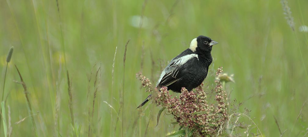
WLCA and Ontario Nature began a collaborative project with a fundamental question: where is the most vulnerable habitat around West Lake? Several major threats are impacting the ecosystems in and around the lake, including shoreline erosion and development pressure. Parts of West Lake are being choked out by rapidly spreading invasive aquatic vegetation. These threats are affecting a variety of species at risk in the area, including Blanding’s turtle, monarch butterfly and bobolink.
Creating Habitat Suitability Models for Species at Risk in West Lake
Through a collaborative effort to identify where species are most vulnerable in West Lake, partners created habitat suitability models to show where important habitat exists and where habitat restoration and stewardship efforts may be needed.
Selecting Species for Our Models
Our project chose four “representative species” whose habitat needs overlap with those of many other plants and animals in the area: butternut, Eastern meadowlark, Eastern musk turtle and pugnose shiner. These species were selected because together they represent a range of terrestrial and aquatic habitat needs. When the models for these four species were combined, it highlighted these specific vulnerable habitats: healthy woodlands that support butternut, open meadows and fields used by Eastern meadowlark, wetlands and shorelines that are needed by Eastern musk turtles, and clean, vegetated water where pugnose shiner live.
Model of suitable habitat for a variety of species in West Lake, Ontario (green indicates the most ideal habitat).
Identifying Important Habitat for Protection and Restoration
Much of the ideal habitat was near the provincially significant West Lake Wetland, along shorelines in the northeast corner of the lake, and within Sandbanks Provincial Park. These areas may represent priority locations where habitat restoration and conservation efforts could be focused.
Sharing the Importance of West Lake with an Interactive Story Map
Engaging with the community and sharing knowledge about West Lake was another goal of the project. WLCA works to encourage interest and engagement among residents to help preserve the uniqueness of the West Lake watershed. They have hosted numerous educational workshops and events, including an annual Environmental Symposium, creating signage to raise awareness of the West Lake Wetland, and partnered with Water Rangers on their Youth Engagement project to train youth on water quality monitoring.
West Lake Community Association and Ontario Nature have published an interactive StoryMap to learn about threats to its ecosystems and recent stewardship projects.
Through collaboration, partners have created the West Lake StoryMap, an interactive mapping tool that blends maps and images to share information about West Lake’s history and ecology. The West Lake StoryMap allows residents and visitors to:
Discover the history of West Lake
Identify threats to its ecosystems
Explore areas vulnerable to flooding, erosion and other natural hazards
Learn about actions WLCA has taken to steward West Lake
By bringing together community perspectives and spatial analyses, the West Lake community has a clear picture of what makes this place special and what threatens its ecosystems. These tools are intended to inspire residents and visitors to get involved in the conservation and protection of West Lake, through shoreline restoration, invasive species removal or by simply learning more about the species that call this area home. With this StoryMap and the continued leadership of the West Lake Community Association, everyone can play a part in keeping West Lake in Prince Edward County healthy for generations to come.
If you or your organization are interested in exploring a conservation or habitat modelling project in Ontario like this, please reach out to Graeme Smith by email at graemes@ontarionature.org or by submitting a request form.
Graeme Smith is the GIS Coordinator at Ontario Nature. He has completed a B.Sc. in biology at Laurentian University and a M.Sc. in environmental and life sciences at Trent University. In his spare time, he enjoys reading, playing board games and exploring the outdoors.
Cathie Coultis is the Chair and Co-Founder of West Lake Community Association. She lives in the hamlet of West Lake with her husband and family dog, enjoys kayaking, cycling, bird watching, gardening, snowshoeing and being active in their rural community.