Scientists Find Thousands of Cubic Kilometers of Magma Hiding Beneath Tuscany
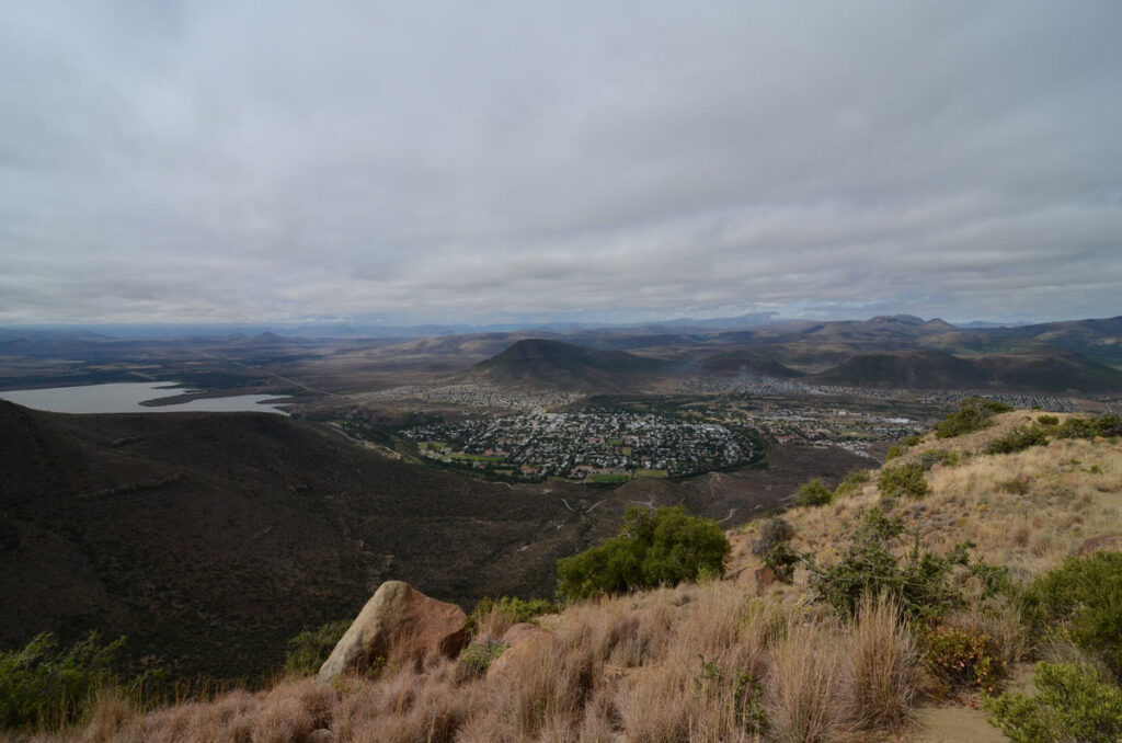
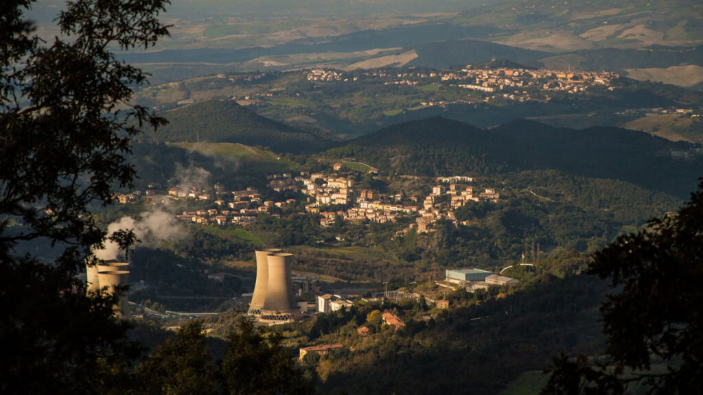
It’s long been clear that Italy’s Larderello region is supplied with abundant heat from Earth’s interior. The area, located in the center of Tuscany, is home to the world’s very first geothermal power plant and once bore the nickname “Devil’s Valley” for the steam vents that dot the rolling landscape.
The source of all of that heat has never been clear because the region has little volcanic activity. But now, new research points to the existence of a massive reservoir of magma, thousands of cubic kilometers in volume, hiding beneath Larderello.
“It’s beautiful to think that in a few hundred thousand years, we might find a supervolcano in there.”
The reservoir was discovered by University of Geneva geophysicist Matteo Lupi and his colleagues using a relatively new technique called ambient noise tomography (ANT). With ANT, the researchers peered deeper beneath the crust in the region, discovering anomalies that pointed to large volumes of magma.
The reservoir sits about 10 kilometers beneath the surface and is around 20 kilometers in diameter, the authors reported in a paper published in Communications Earth and Environment. Those dimensions make the reservoir comparable in size to those underlying so-called supervolcanoes like Yellowstone and Toba, though Lupi said there’s no apparent danger of an eruption anytime soon.
“I don’t think that, in human time frames, we should change the way we perceive the area,” he said. “Nevertheless, it’s beautiful to think that in a few hundred thousand years, we might find a supervolcano in there as well.”
Listening for Magma
Previous studies had posited the existence of large amounts of magma somewhere beneath Tuscany but never provided definitive evidence. A borehole project that concluded in 2018 revealed sudden temperature increases several kilometers down. Other studies using seismic vibrations to infer the structure of the crust in the region hinted at the presence of magma.
Lupi, along with colleagues in Italy, has been working to expand the use of ANT in Tuscany and elsewhere to make new and better images of structures deep underground. The technique involves using a network of seismometers to pick up on surface waves traveling through Earth that record a kind of background noise created by wind, ocean waves, and other subtle forces. Then, statistical algorithms help scientists find relevant seismic signals amid the static.
“Surface waves are sensitive to the shear properties of the rock,” said Brandon Schmandt, a geophysicist at Rice University who wasn’t affiliated with the research. “If you heat something or introduce a little melt, the shear properties weaken a lot. And so it’s a good way to find a big magma reservoir [in Earth’s crust].”
Using more than 60 seismometers spread across Tuscany and islands just offshore, Lupi and his team cross correlated surface wave data to produce a map of seismic velocities beneath Larderello. That map contains a large blob where seismic signals travel markedly slower than in other places. Those speeds align with a body of partially melted rock, Lupi said, surrounded by a region of slightly cooler and more solid “crystal mush.”
The researchers estimate the reservoir is about 5,000 cubic kilometers in volume, with molten rock making up about 80% of its innermost contents and about 20% of the surrounding crystal region.
A Missing Supervolcano?
The magma reservoir’s existence provides an explanation for the abundant geothermal activity in the Larderello region while simultaneously raising another question. The quantity of magma discovered could fuel a massive eruption on the scale of other supervolcanoes worldwide—yet no supervolcano exists in Tuscany.
Why Tuscany doesn’t host a caldera similar to Yellowstone in the United States is still an open question. There are several nonexclusive possibilities for the lack of eruptivity, said Federico Farina, a geologist and professor of geochemistry at the University of Milan who was also an author of the study. The magma under Larderello might be drier and therefore less eruptive, or it could have been produced, and therefore intruded into the crust, more slowly. Additionally, the structure of the crust in the region could have helped to trap the magma and prevent it from getting out.
Another clue to the region’s geological history comes from dating zircons, small crystals formed when magma cools and hardens. Farina has found zircons with different ages very close to each other in the rock matrix, which he said indicates a long-lived system where magma moves through different reservoirs as it cools. He said these zircons may also enable the researchers to model the size of the reservoir and better understand the speed and amount of magma accumulation there.
More to Come
Discovering so much magma underneath Tuscany is a surprise, but Lupi thinks it’s likely to be far from the only large magma reservoir hiding beneath a volcanically quiet region. He noted that research he carried out in the Andes around a decade ago also suggested, though not conclusively, the existence of a large, hidden magma reservoir. That experience was, in part, what convinced him to use ANT’s deep imaging capabilities elsewhere.
“This is good momentum to encourage people to look at it from a magmatic system standpoint and not just focus on the vents at the surface.”
Schmandt agreed that large reservoirs are likely to exist in other places even when there’s little for human eyes to see. “This is good momentum in that direction to encourage people to look at it from a magmatic system standpoint and not just focus on the vents at the surface,” he said.
Lupi may not have to go far to discover his next massive pool of molten rock. He said his data indicated there may be another reservoir buried under nearby Mount Amiata that’s twice as big as the one beneath Larderello. That area was just at the edge of their seismometer network, meaning the team couldn’t fully resolve it.
—Nathaniel Scharping (@nathanielscharp), Science Writer